Jump to navigation
Hixson Plat Map Atlases of Iowa
W.W. Hixson & Co.
1930
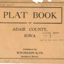
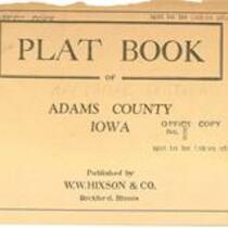
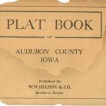
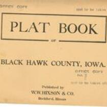
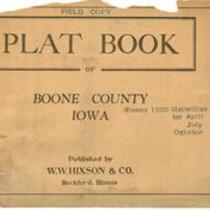
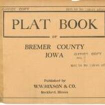
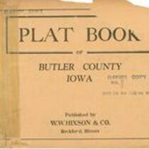
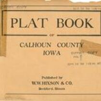
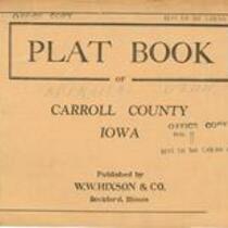
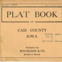
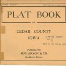
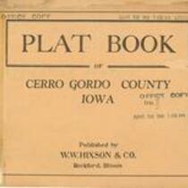
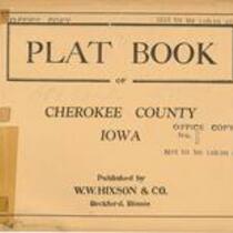
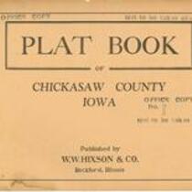
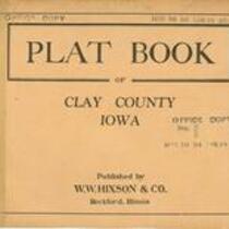
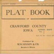
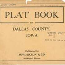
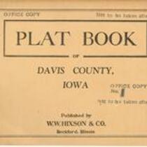
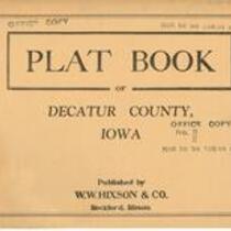
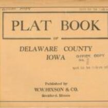
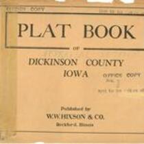
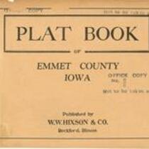
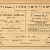
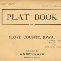
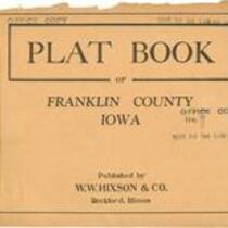
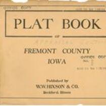
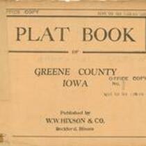
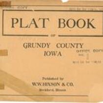
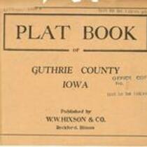
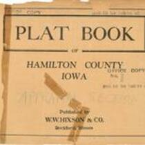
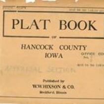
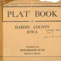
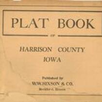
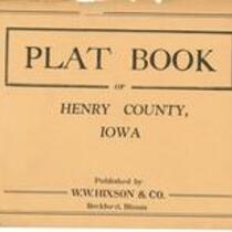
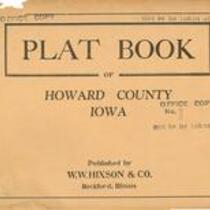
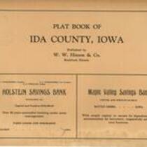
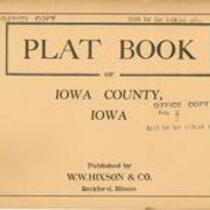
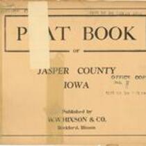
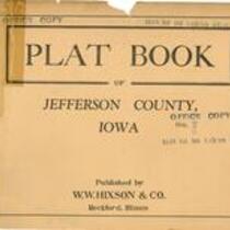
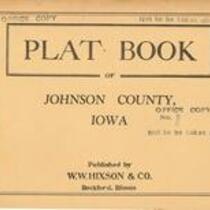
95 plat books, published by W.W. Hixson & Co. in 1930, showing land ownership maps for townships in Iowa counties. The maps include some topographic information.
English
1930-1940
United States -- Iowa
University of Iowa. Libraries. Map Collection
Master image scanned with Ricoh Aficio 3228C as a JPEG. Township maps and covers scanned at 600 ppi. County maps are composites
2007
No known copyright restrictions.
Contact The University of Iowa Libraries Map Collection: http://www.lib.uiowa.edu/sc/location-and-hours/
Collection
atlases plat books
jpg