Iowa Counties Historic Atlases

1 to 48 of 254 Objects

Pages

Official Buena Vista County plat book, 1942
Johnson County, Iowa, atlas, 1939
Atlas of Palo Alto County, Iowa, 1938
Plat Book of Monona County, Iowa, 1937
Plat book of Worth County, Iowa, 1937
Atlas and Rural Directory of Marion County, Iowa, 1937
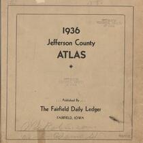
Jefferson County Atlas, 1936
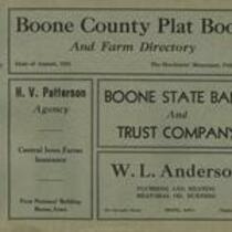
Boone County plat book and farm directory, ca.1935
Plat book of Calhoun County, Iowa ca. 1934: containing a map of Calhoun County and maps of the individual townships, showing the names of the land owners, the highways and improved roads, the ditches, schools, churches, cemeteries, creeks, rivers and rail
Atlas of Johnson County, Iowa, 1934
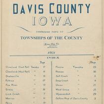
Atlas of Davis County, Iowa, 1931
Atlas of Henry County, Iowa, 1931
Atlas and Plat Book of Dallas County, Iowa, 1930
Plat Book of Linn County, Iowa, 1930
1930 atlas of Audubon County: showing land ownership, U.S. highways, state highways, county roads, township roads, mail routes, railroads, streams, drainage ditches, schools, churches, 1930
Atlas of Butler County, Iowa, 1930
Atlas of Winnebago County, Iowa, 1928
Atlas of Poweshiek County, Iowa, 1928
Atlas of Sioux County, Iowa, circa 1928
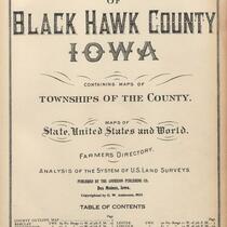
Atlas of Black Hawk County, Iowa, and The World, 1926
Atlas of Clinton County, Iowa, 1925
An Atlas of Buchanan County, 1923
Atlas of Taylor County, Iowa, and the World, 1923
Atlas of Carroll County, Iowa, 1923
Atlas of Sioux County, Iowa, 1923
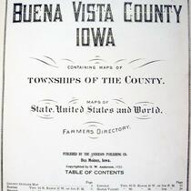
Atlas of Buena Vista County, Iowa, 1923
Standard atlas of Wapello County, Iowa, 1922
Atlas of Mills County, Iowa, 1921
Tri-County Farmers Institute Atlas: Covering Parts of Scott, Muscatine, and Cedar Counties, Iowa, 1921
Atlas of Linn County, Iowa, 1921
Atlas of Audubon County, Iowa, 1921
Atlas of Shelby County, Iowa, 1921
Atlas of Greene County, Iowa, 1921
Atlas of Plymouth County, Iowa, 1921
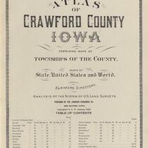
Atlas of Crawford County, Iowa, 1920
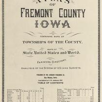
Atlas of Fremont County, Iowa, 1920
Atlas of Washington County, Iowa, 1920
Atlas and Plat Book of Calhoun County, Iowa, 1920
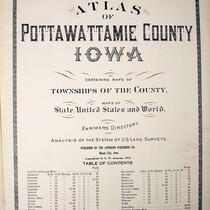
Atlas of Pottawattamie County, Iowa, 1919
Atlas of Story County, Iowa, 1919
Standard Atlas of Monroe County, Iowa, 1919
Atlas of Montgomery County, Iowa, 1919
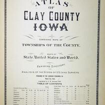
Atlas of Clay County, Iowa, 1919
Drainage Atlas of Palo Alto County, Iowa, 1919
Standard atlas of Emmet County, Iowa, 1918
Atlas of Hardin County, Iowa, 1918
Standard Historical Atlas of Hamilton County, Iowa, 1918

Pages