Jump to navigation
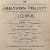
Atlas of Johnson County, Iowa, 1900
Huebinger Survey and Map Publishing Co.
Huebinger Map Publishing Co., 1900, Atlas of Johnson County, Iowa
English
1900-1910
United States
Iowa
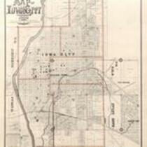
Johnson County
1 atlas: b&w: 39 x 46 cm.
University of Iowa. Libraries. Map Collection
Scanned with Zeutschel OS12000 at 300 dpi, full color. Archival tiff available.
Material in the public domain. No restrictions on use.
Contact the University of Iowa Libraries Map Collection: http://www.lib.uiowa.edu/sc/contact/
Still image Text
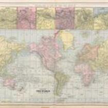
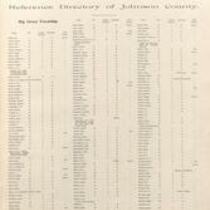
maps (documents) land surveys indexes (reference sources) directories diagrams county seats charts (graphic documents) advertisements photographs portraits tables of contents title pages world maps
jp2