Jump to navigation
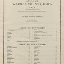
Atlas of Warren County, Iowa, 1915
1915
Midland Map Co.
Midland Map Co., 1915, Atlas of Warren County, Iowa
English
1910-1920
United States
Iowa
Warren County
1 atlas: b&w: 38 x 46 cm.
State Historical Society of Iowa (Iowa City)
Scanned with Zeutschel OS12000 at 300 dpi, full color. Archival tiff available.
2011-07-11
Material in the public domain. No restrictions on use.
Contact the University of Iowa Libraries Map Collection: http://www.lib.uiowa.edu/sc/contact/ or Contact the State Historical Society of Iowa: libraryst@uiowa.edu
Text Still image
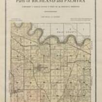
plats (maps) title pages indexes (reference sources)
jp2