Jump to navigation
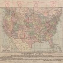
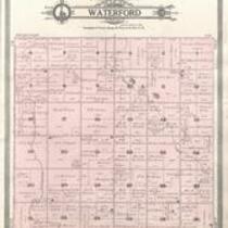
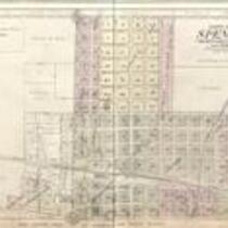
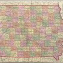
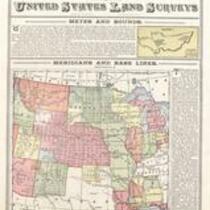
Standard Atlas of Clay County, Iowa, 1909
1909
Geo. A. Ogle & Co.
Geo. A. Ogle & Co., 1909, Standard Atlas of Clay County, Iowa
Missing page #47, containing Peterson Township Map, from Standard Atlas of Clay County, Iowa, 1909.
English
1900-1910
United States
Iowa
Clay County
1 atlas: b&w: 41 x 46 cm.
State Historical Society of Iowa (Iowa City)
Scanned with Zeutschel OS12000 at 300 dpi, full color. Archival tiff available.
2011-08-09
Material in the public domain. No restrictions on use.
Contact the University of Iowa Libraries Map Collection: http://www.lib.uiowa.edu/sc/contact/ or Contact the State Historical Society of Iowa: libraryst@uiowa.edu
Text Still image
maps (documents) plats (maps) world maps tables of contents title pages photographs histories (literary works) directories land surveys articles
jp2