Jump to navigation
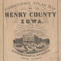
Combination Atlas Map of Henry County, Iowa, 1870
1870
Thompson and Everts
Thompson & Everts, 1870, Combination Atlas Map of Henry County, Iowa
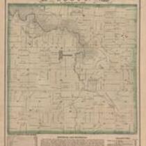
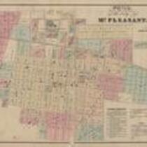
Incomplete collection of maps from Combination Atlas Map of Henry County, Iowa due to damaged and ripped pages, best copies available.
English
1870-1880
United States
Iowa
Henry County
1 atlas: b&w: 38 x 44 cm.
State Historical Society of Iowa (Iowa City)
Scanned with Zeutschel OS12000 at 300 dpi, full color. Archival tiff available.
2011-08-15
Material in the public domain. No restrictions on use.
Contact the University of Iowa Libraries Map Collection: http://www.lib.uiowa.edu/sc/contact/ or Contact the State Historical Society of Iowa: libraryst@uiowa.edu
Text Still image
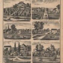
maps (documents) plats (maps) title pages drawings (visual works) charts (graphic documents) indexes (reference sources)
jp2