Search results

1 to 48 of 130 Objects

Pages

A new map of the state of Iowa, 1850
A township map of the state of Iowa, 1851
Iowa, 1847
Iowa, 1847
State of Iowa, 1878
State of Iowa, 1878
Iowa, 1859
Iowa, 1859
Map of part of the Wisconsin Territory: compiled from Tanner's map of U. States, from surveys of public lands and Indian boundaries, from personal reconnoissance and from original information derived from explorers and traders, 1935
Iowa, 1846
Iowa, 1846
Iowa, 1858
Iowa, 1858
Sketch of the public surveys in Iowa, 1855
Iowa, 1843
Iowa, 1843
Wisconsin, 1846
Wisconsin, 1846
Iowa's electric transmission lines and plants, 1927
State of Iowa, 1912
State of Iowa, 1912
Iowa, 1875
Iowa, 1875
Sketch of the public surveys in Iowa, 1848
Map of Iowa: showing towns with their location and population, railroads, counties, and congressional districts, 1901
Iowa, 1858
Iowa, 1858
Iowa, 1855
Iowa, 1855
Map of Iowa, 1888
Map of Iowa, 1888
Map of Iowa, 1899
Map of Iowa, 1899
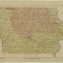
A geological map of Iowa, 1922
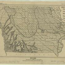
Map of Iowa: map showing the surface distribution of the five drift sheets in Iowa, 1928
A geological map of Iowa, 1904
Ohman's standard new map of Iowa, the Hawkeye state, 1926
Iowa, 1856
Iowa, 1856
Map of Iowa, 1901
Map of Iowa, 1901
Iowa, 1884
Iowa, 1884
Map of Iowa: prepared and printed for the Railroad Commissioners, to accompany their report, 1893
Map of the Pleistocene deposits of northwestern Iowa, 1917
Map of Iowa, 1900
Map of Iowa, 1900
Johnson's Iowa and Nebraska, 1864
Rand McNally road map, United States, 1945
Transportation map, Iowa, 1924
Map to accompany report of Gen. G.M. Dodge, Chief Engineer on the crossing of the Missouri River, 1867
Map of Iowa, 1927
Map of Iowa, 1927
Map showing the different routes surveyed for the Union Pacific Rail Road between the Missouri River and the Platte Valley, 1865
Map of Iowa, 1902
Map of Iowa, 1902
Iowa, 1855
Iowa, 1855
Map of Iowa showing drift sheets, 1917
Rand, McNally & Co.'s indexed county and township pocket map and shippers' guide of Iowa, 1894
Map of Iowa, 1895
Map of Iowa, 1895
Johnson's Iowa and Nebraska, 1862
Map of Iowa, issued by the Board of Railroad Commissioners, 1915
Railroad map of Iowa, 1881
The Federal Aid Highway System progress map: Eastern Iowa and Western Iowa, 1934
Transportation map, Iowa, 1952
Transportation map, Iowa, 1937
Iowa transportation map : railroads, highways, canals, air lanes, dredged channels, and pipe lines, 1934

Pages