Search results

1 to 48 of 821 Objects

Pages

A new map of the state of Iowa, 1850
Iowa, 1847
Iowa, 1847
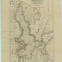
Map of West Okoboji Lake ... Dickinson County, Iowa: to accompany the report on Iowa lakes and lake beds, 1916
State of Iowa, 1878
State of Iowa, 1878
Map of the surface deposits of Polk County, Iowa, 1897
Iowa, 1859
Iowa, 1859
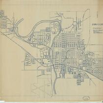
Iowa City, Iowa, 1906
Map of Hancock County, Iowa, 1910
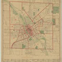
Map of the city of Cedar Rapids and town of Kenwood Park, Iowa: showing streets, parks, public buildings, etc., 1916
Map of part of the Wisconsin Territory: compiled from Tanner's map of U. States, from surveys of public lands and Indian boundaries, from personal reconnoissance and from original information derived from explorers and traders, 1935
Iowa, 1846
Iowa, 1846
Map of Monticello, Jones Co., Iowa, 1864
Iowa City and its environs, 1854
Map of the city of Clinton, Clinton Co., Iowa, 1892
Iowa, 1858
Iowa, 1858
The campus of the State University of Iowa, 1930
Official map of Benton County, Iowa: showing primary, county, and township roads and school districts, 1925
Sketch of the public surveys in Iowa, 1855
Iowa, 1843
Iowa, 1843
Wisconsin, 1846
Wisconsin, 1846
Iowa's electric transmission lines and plants, 1927
State of Iowa, 1912
State of Iowa, 1912
Iowa, 1875
Iowa, 1875
Map of Polk County, Iowa, 1878
Iowa City, 1947
Iowa City, 1947
Sketch of the public surveys in Iowa, 1848
Map of Iowa: showing towns with their location and population, railroads, counties, and congressional districts, 1901
Iowa, 1858
Iowa, 1858
Survey of the Mississippi River, Chart 144, 1891
Iowa, 1855
Iowa, 1855
Posting map, State of Iowa, 1905
Allamakee County, Iowa, 1940, aerial photomosaic index
Wayne County, Iowa, 1950, aerial photomosaic index
Clarke County, Iowa, 1948, aerial photomosaic index
Polk County, Iowa, 1950, aerial photomosaic index
Story County, Iowa, 1939, aerial photomosaic index
Allamakee County, Iowa, 1952, aerial photomosaic index
Crawford County, Iowa, 1955, aerial photomosaic index
Cerro Gordo County, Iowa, 1939, aerial photomosaic index
Keokuk County, Iowa, 1940, aerial photomosaic index
Emmet County, Iowa, 1953, aerial photomosaic index
Delaware County, Iowa, 1940, aerial photomosaic index
Montgomery County, Iowa, 1955, aerial photomosaic index
Calhoun County, Iowa, 1939, aerial photomosaic index
Allamakee County, Iowa, 1938, aerial photomosaic index
Page County, Iowa, 1960, aerial photomosaic index
Poweshiek County, Iowa, 1951, aerial photomosaic index
Buchanan County, Iowa, 1957, aerial photomosaic index

Pages