Jump to navigation
Iowa Counties Historic Atlases
1858/1942 1908
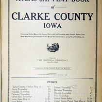
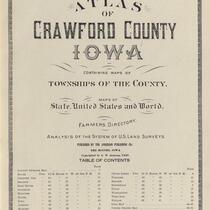
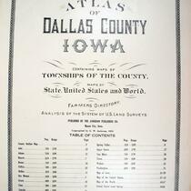
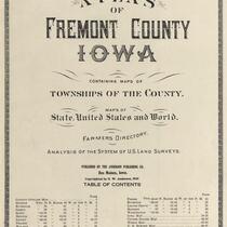
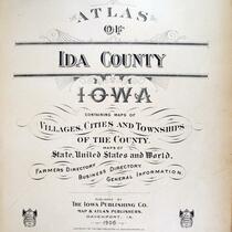
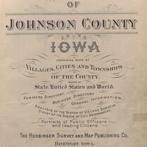
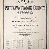
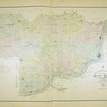
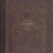
Over 4,000 pages from nearly 100 county atlases from the late 19th and early 20th centuries, featuring maps as well as advertisements, photographs, and local histories. County atlases from the late 1800s and early 1900s are currently being digitized from the collections of the University of Iowa Libraries Map Collection and The State Historical Society Library, Iowa City. Nearly all of Iowa's 99 counties are available in the digital collection, and some are available via the Library of Congress.
English
1870-1880 1880-1890 1890-1900 1900-1910 1910-1920
United States -- Iowa
State Historical Society of Iowa (Iowa City) University of Iowa. Libraries. Map Collection Iowa. Office of State Archaeologist
2011-08-11
Material in the public domain. No restrictions on use.
Contact the University of Iowa Libraries Map Collection: http://www.lib.uiowa.edu/sc/contact/ or Contact the State Historical Society of Iowa: https://iowaculture.gov/about-us/contact-us
Collection
plats (maps) atlases
jp2