Jump to navigation
About
Browse Collections
Advanced Search
Contact
The University of Iowa Libraries
Select Collection
African American Women in Iowa Digital Collection
All collections
Anthropology at Iowa
Arthur and Miriam Canter Rare Book Room
Book Arts in Special Collections
Book Model Collection
Calvin Geological Photographs
Capture Your Research
Civil War Diaries and Letters
Council on Disability Awareness Publications
Dada Digital Collection
Dennis Michael Warren Slide Collection
Dentistry College Class Photographs
Department of Theatre Arts Design Portfolios
Dutch in the World
Early Manuscripts Digital Collection
Editorial Cartoons of Brian Duffy
Editorial Cartoons of Frank Miller
Editorial Cartoons of Harold "Tom" Carlisle
Editorial Cartoons of J.N. "Ding" Darling
Eve Drewelowe Digital Collection
Evelyn Birkby Collection
Fan Fiction Oral History Project
Félix de la Concha’s Portraits in Conversation
Figge Art Museum Grant Wood Digital Collection
Filmed/Virtual Gallery
Fluxus West Digital Collection
General Land Office Survey Maps
Geoscience Slides
Glenister Geoscience Slides
Grant Wood Art Colony
Hancher Auditorium Events
Helen Grundman 4-H Scrapbook
Henry A. Wallace Collection
Hevelin Fanzines
Historic Iowa Children's Diaries
Historic Sheet Music Digital Collection
History Corps Archive
Hixson Plat Map Atlases of Iowa
Homer Calkin Slides
ILA/ACRL Annual Reports
ILA/ACRL Business Meetings
ILA/ACRL Chapter Reports
ILA/ACRL Minutes and Reports
ILA/ACRL Strategic Plans
ILA/ACRL Treasurer's Reports
ILA/ARCL Board Minutes
Ignaz Pleyel Early Editions
Imogene Hub Newsletter
International Programs Outreach Culture Kits
Iowa Aerial Photo Indices
Iowa Byington Reed Diaries
Iowa City Foreign Relations Council Presentations
Iowa City Independent Publishing
Iowa City Town and Campus Scenes
Iowa Counties Historic Atlases
Iowa Historic Sheet Maps
Iowa Journalists Oral Histories
Iowa Labor History Oral Project
Iowa Narratives Project
Iowa Poetry Prize
Iowa River Collection
Iowa Towns
Iowa Women's Archives Founders
Iowa Women's Archives Images
Irving Weber's Iowa City
James Van Allen Papers
James W. Bollinger Collection
John Martin Rare Book Room Images
John Martin Rare Book Room Presents
John P. Vander Maas Railroadiana
Journals of Historic Railroad Orders
Keith/Albee
Latino-Native American Cultural Center Digital Collection
Leigh Hunt Letters
Levi O. Leonard Railroadiana
Madurese Storyteller Videos
Manuscript Collection
Media Fan Oral History Project
Michael W. Lemberger Political Photographs
Mildred Wirt Benson Collection
Morris Family Papers Digital Collection
Mujeres Latinas Digital Collection
Museum of Natural History Egg Cards
Nicholas Johnson collection
Nile Kinnick Digital Collections
Noble Photographs
Office of the State Archaeologist Publications
Paleontology Archives at the University of Iowa
Paleontology Repository at the University of Iowa
Paper Through Time: Specimens Tested
Patrobas Cassius Robinson Digital Collection
Pioneer Lives
Rand & Leopold Desk Company Catalogs
Research Collections Images
Rural Women Digital Collection
Scenic Design Gallery
School of Art & Art History Graduate Archive
School of Art and Art History Resources
Science Fiction Fandom
Scottish Highlanders Collection
Social Justice in Iowa
Soteriou Papermaking Images Archive
Springer Printing Ephemera
Szathmary Culinary Manuscripts and Cookbooks
Szathmary Recipe Pamphlets
The Darwin Turner and Afro-American Institute Collection
The University of Iowa End of Session Class Counts
The University of Iowa Libraries Administrative and Public Relations Material
The University of Iowa Tuition and Fees
Top-level Collection
Traveling Culture: Circuit Chautauqua in the Twentieth Century
U.S. Government Posters
UIMA Collection
University of Iowa
University of Iowa Alumni Publications
University of Iowa Art Festival Programs
University of Iowa Campus Maps
University of Iowa College of Medicine Historical Photographs
University of Iowa Commencement Programs
University of Iowa Coral Specimens
University of Iowa Coral Tissues
University of Iowa Digital Books Collections
University of Iowa General Catalogs
University of Iowa Graduation and Retention
University of Iowa History of Medicine Lectures
University of Iowa Main Library Gallery
University of Iowa Museum of Natural History Images
University of Iowa Office of the Registrar
University of Iowa Physical Education for Women
University of Iowa Press
University of Iowa School of Music Recordings Archive
University of Iowa Summary of Degrees Granted
University of Iowa Yearbooks
Victor Animatograph Company Pamphlets
Victorian Trade Cards
Virtual Writing University Archive
W9XK Experimental Television at Iowa
Woman's Christian Temperance Union of Iowa
Women's Movement in Iowa
Women's Suffrage in Iowa
World War I Diaries and Letters
World War II Diaries and Letters
World War II Iowa Press Clippings
Young Lords Organization Newsletters
cARTalog
Search box
You are here
Home
›
boone +county +atlas
(x)
›
Iowa Counties Historic Atlases
(x)
Search results
1 to 48 of 246 Objects
Sort By:
Relevance
Date
Sort by Title
Pages
1
2
3
4
5
next ›
last »
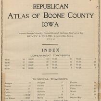
Republican Atlas of Boone County, Iowa, 1902
Plat Book of Boone County, Iowa, 1896
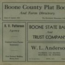
Boone County plat book and farm directory, ca.1935
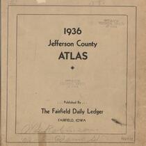
Jefferson County Atlas, 1936
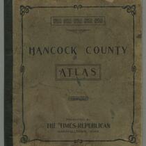
Hancock County Atlas, Iowa, 1905?
Johnson County, Iowa, atlas, 1939
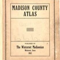
Madison County atlas, Iowa, 1912
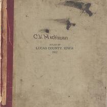
Atlas of Lucas County, Iowa, 1912
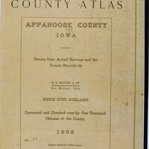
County Atlas of Appanoose County, Iowa, 1908
Souvenir Atlas of Tama County, Iowa, 1909
Atlas of Tama County, Iowa, 1916
Atlas of Tama County, Iowa, 1875
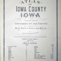
Atlas of Iowa County, Iowa, 1900
Standard Atlas of Clayton County, Iowa, 1902
Atlas of Winnebago County, Iowa, 1905
Atlas of Crawford County, Iowa, 1920
Standard atlas of Emmet County, Iowa, 1918
Atlas of Fremont County, Iowa, 1920
Atlas of Clinton County, Iowa, 1925
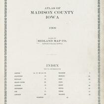
Atlas of Madison County, Iowa, 1908
Standard Atlas of Iowa County, Iowa, 1917
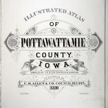
Illustrated Atlas of Pottawattamie County, Iowa, 1885
Standard atlas of Webster County, Iowa, 1909
Standard Atlas of Benton County, Iowa, 1901
Atlas of Pottawattamie County, Iowa, 1919
Standard Atlas of Cass County, Iowa, 1900
Standard Atlas of Jefferson County, Iowa, 1909
Standard Atlas of Clay County, Iowa, 1909
Atlas of Washington County, Iowa, 1920
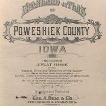
Atlas of Poweshiek County, Iowa, 1896
Standard Atlas of Davis County, Iowa, 1912
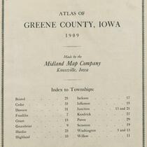
Atlas of Greene County, Iowa, 1909
Atlas of Monona County, Iowa, 1919
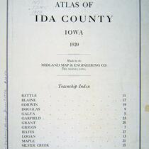
Atlas of Ida County, Iowa, 1920
Atlas of Clarke County, Iowa, 1902
Illustrated Atlas of Harrison County, Iowa, 1884
Standard Atlas of Clayton County, Iowa, 1902
Atlas of Butler County, Iowa, 1917
Atlas of Winnebago County, Iowa, 1928
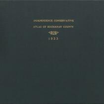
An Atlas of Buchanan County, 1923
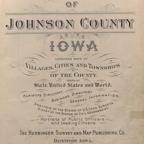
Atlas of Johnson County, Iowa, 1900
Atlas of Pottawattamie County, Iowa, 1900
Standard Atlas of Shelby County, Iowa, 1911
Atlas of Mills County, Iowa, 1921
Atlas of Cedar County, Iowa, 1901
Atlas of Clarke County, Iowa, 1909
Atlas of Madison County, Iowa, 1905
Atlas of Poweshiek County, Iowa, 1921
Pages
1
2
3
4
5
next ›
last »